Category: 3D Tech Projects

The various projects I have created or contributed to.

  • Why Make Preservation Accessible to All?

    Why Make Preservation Accessible to All?

    My Lahore Fort digital preservation project is continuing to evolve and spark new results. I am refining my techniques and cementing the method that will serve as the foundation of this project.

    When my pilot project, the Shed Game wrapped up, my students coined the phrase “Interactive Digital Preservation” as a way to represent the uniqueness of my proposed method. My second adventure in prototyping spawned the name to “Digital Interactive Preservation”.

    This was a humorous nod to our RIT Cultural Heritage Imaging and Preservation Research group, internally referred to as “CHIPR”. It just seemed fitting to have a “DIP” to go with the “CHIP” research group. After all, it’s through this group that I met my architectural collaborator and Co-PI, Dr Alissa De Wit-Paul, and it’s through this group that we have been able to present separately and together on the matter of digital preservation around the world.

    As I balance my sheets from my previous grant, I am happy to note my progress. With the site scans, I now have a clear roadmap for steps and resource-management. These tests have also reinforced the need to bring back the original teaching/educational component back into the process. The core goal is and always has been to share this technique with as many people as possible and enable a broad-scale effort to preserve history from all corners of the globe. Making it cost less (than the standard physical and digital methods) and use more accessible skills (art, architecture and analysis) is more impactful in the long run.

    The DIP method stands to engage local communities in the process of preserving their own history. It provides smart people with the ability to engage in meaningful work that bolsters their own communities. These people will act as witnesses to the cultural sites of their own ancestors, saving in written and pictorial form key elements and put their knowledge in a place where it can be shared far and wide. This method gives them the agency to control their own cultural narratives, because they’re not relying on others to tell them what their heritage means. Most importantly, it allows them to share their culture with others in a way that takes into account their unique cultural point of view.

    As someone who has always balanced multiple identities, I have refined the art of translating values and ideas from one mode to another. Ultimately, all cultures and people start from the same place of idealism. Everyone believes in truth, honesty and goodness; they just have different ways of expressing themselves.

    By revisiting our historical narratives, we can remove the barriers to communication and lay the foundations for the rich variety of human creativity that the world has to offer.
  • Scanning @ the Campbell House

    Scanning @ the Campbell House

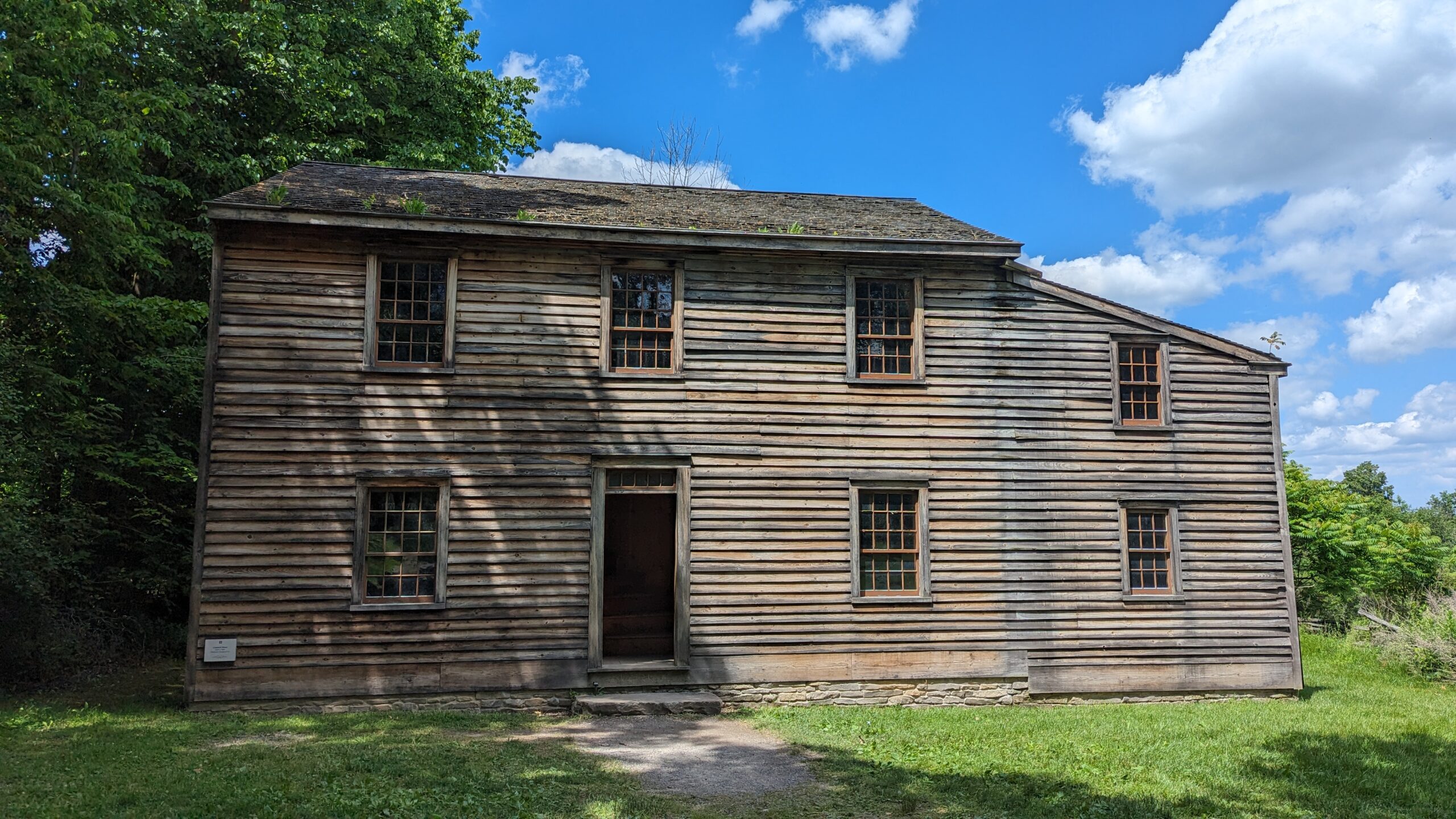
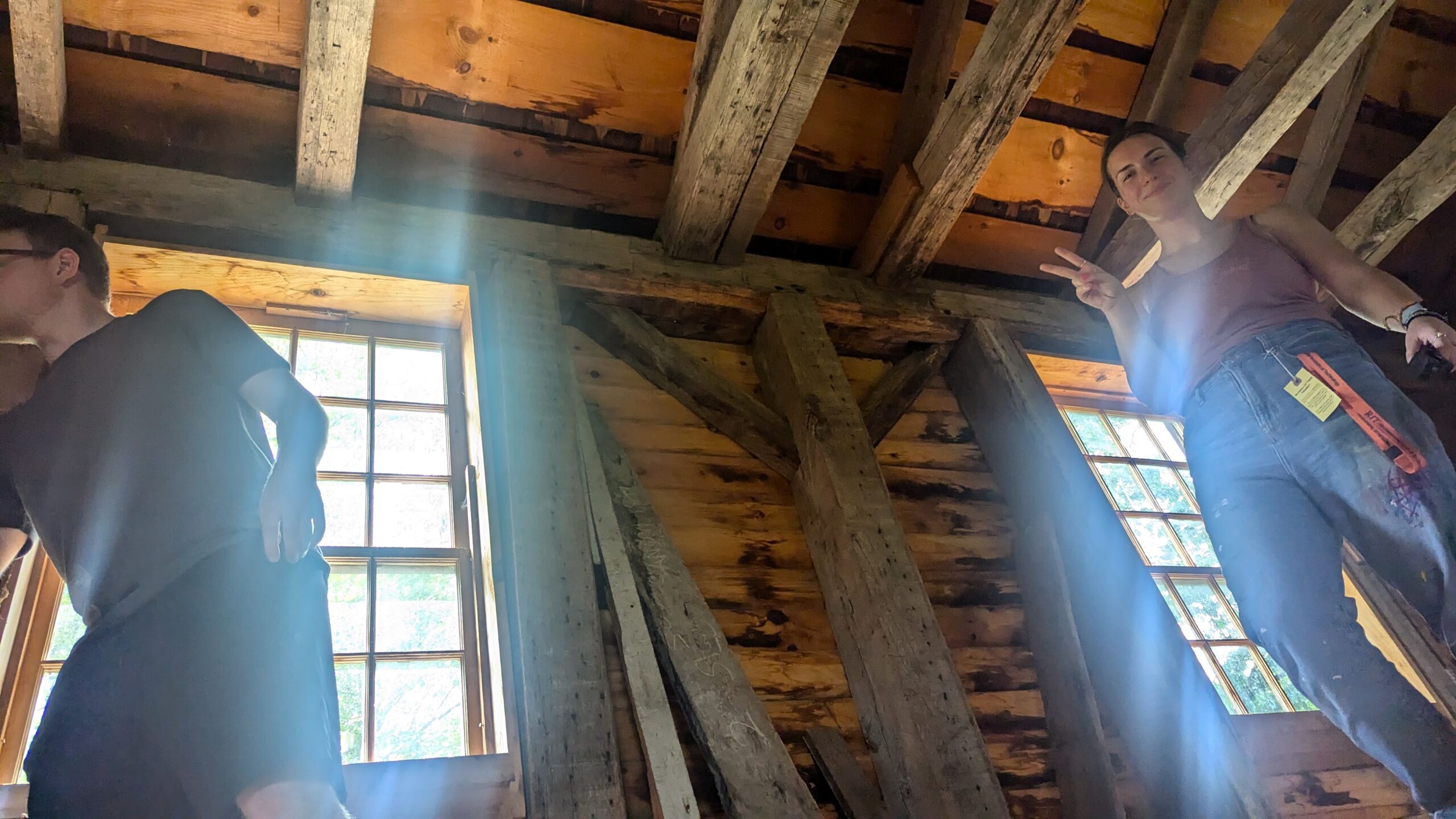
    Our work has begun! With the tiniest team possible, we picked up our scanning equipment (iPads, smartphones and measuring tools) and jumped headlong into the Digital Interactive Preservation process.

    Getting animators to work with architects is incredibly fun, particularly when you realize how similar the fields really are. Despite the difference in mediums, it’s clear that both industries require a strong attention to ergonomics and the human psyche. In Architecture, every detail of a building has to be considered and planned, as it is in CG creation. These similarities made the interdisciplinary workflow all the more enjoyable, as we were able to exchange information and compare and contrast techniques between recording.

    Our next steps after field visits begin with processing the scans in virtual space and simultaneously building architectural plans and representations, then integrating them.

    A huge Thanks to the RIT Center for Imaging Sciences and Tim Bauch, our drone pilot, who has invested so much of his time helping us solve tricky questions and perfecting the drone-capture process.

  • The Campbell House @GCVM

    The Campbell House @GCVM

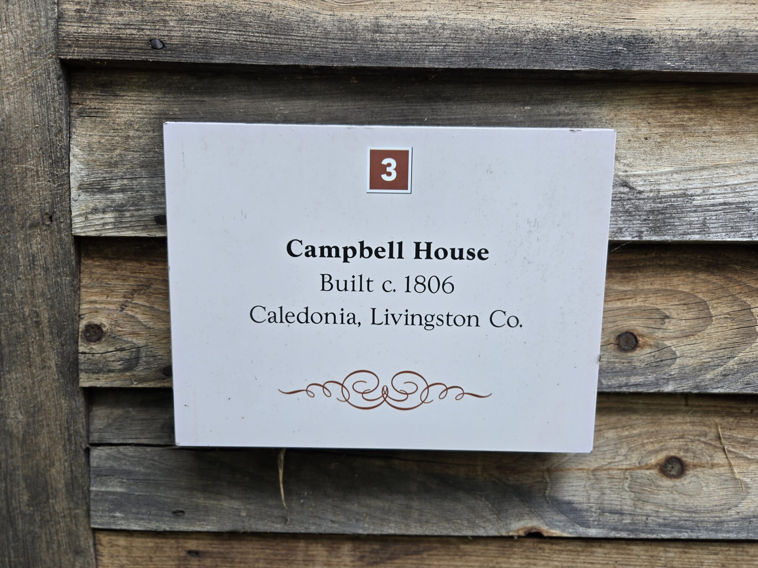
    A huge shout out to the Genesee Country Village and Museum for their continuous support of the Digital Interactive Preservation Project! With the success of the pilot project, I have now teamed up with Dr. Alissa De Wit-Paul to scan another building and develop a fuller, more architecture-friendly process of scanning an historic site!

    Scanning and process updates coming soon!

  • Digital Preservation: Promo and News 2024

    Digital Preservation: Promo and News 2024

    Summer of 2024 is off to a great start. I have teamed up with architect and art historian Dr Alissa De Wit-Paul to put the second step of my preservation process to the test. Together, we have garnered support from the Genesee Country Village and Museum to provide us access to their historic Campbell House.

    The interdisciplinary nature of my perceived process made us the perfect choice for a Provost’s Learning Innovation Grant from RIT, and an additional award from the Wehrheim Family, who are staunch supporters of historic sites and museums.

    On top of this, my project was featured in a promo video to showcase RIT’s longstanding relationship with the Genesee Country Village and Museum, which then gave me room to request an edit of the clip to help share my idea with more potential partners and funders (fingers crossed).

    Watch my cool video here!

  • The SHED Game Walkthrough

    The SHED Game Walkthrough

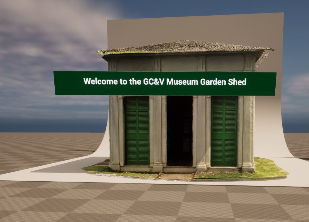
    A short video of the first draft.

    This was the export that was play-tested by students of the Museum Sciences program (MUSE360), thanks to the support of Dr. Samaya Nasr at RIT. Here, we learned that the students struggled with the speed of the navigation tools and wished they had the option to fly.

    From a Museum Sciences perspective, they were also very interested in learning more about the structure in a narrative sense, which, of course, was not part of our goals for this test. However, this feedback was extremely valuable as it provided directions for future iterations.

    Similarly, I brought this test game to an Architecture course for review as well. Dr. Alissa De Wit-Paul from the RIT Sustainable Architecture program tested the game by sharing it with two groups of students. One group was learning about sustainable design in an online course, and the second was doing so in-person and therefore could physically visit the site.

    Our online users immediately felt like the game provided a stronger spatial understanding of the building, however, a key issue was in how our animation team built the surroundings. As it happens, Architecture is very reliant on site-specific design (shocking), and placing the building in a rocky-mountain-circled glen with a picturesque well and pretty grass just didn’t give the students what they needed. The pumpkins were even more traumatizing to the serious study of architectural preservation!

    The in-person students has similar feelings regarding the siting of the scan. And while a scan cannot live up to a real-life experience (yet), having access to it when developing sustainable designs was helpful.

    Overall, the consensus was that animators should not be allowed to record real-life on their own, but with a partnership, this could be the start of a beautiful new journey!

  • Processing the SHED @ RIT

    Processing the SHED @ RIT

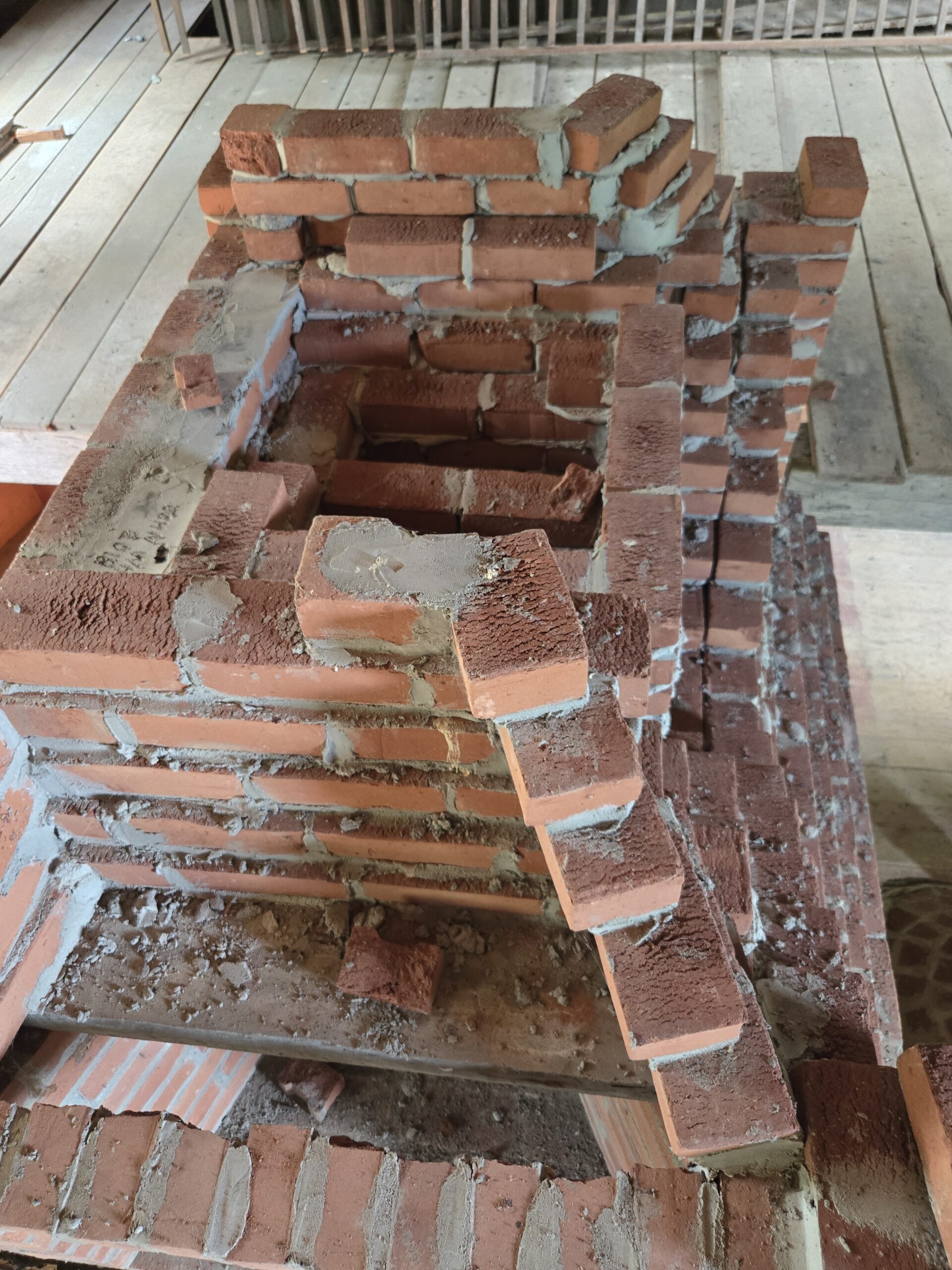
    The special topics course was a success! Not only did my four students get highly involved in refining the process, but we were able to successfully export a few different samples of the game, ready to play and with a secondary level to show a few additional details preserved during our research.

    From our tests, we discovered how useful it is to have humans working alongside good scanning techniques. We used gimbal powered selfie-sticks to keep cameras level as we scanned features high up on the walls. Then, we were able to clean up the geometry using the additional photogrammetry we employed in our process.

    This helped clarify the need to bring in a modular creation approach, since the process of transferring textures can be cumbersome on big sections of the building.

    Exciting stuff! Next up: getting non-animators to play the game and give us feedback.

  • The Shed Game @ the Genesee Country Village and Museum: A Quick Summary

    This is the shortest possible update of the pilot DIP process.

    A module of the super-epic Lahore Fort Project is the method I have suggested to use game creation workflows to digitally preserve buildings and sites. In October of 2022, I, and a team of animation students were given the opportunity to put this theory to the test and try to make it happen.

    Thanks to this smart and resourceful group, we were able to test out different types of scanning methods, compare them to other capture processes and settled on a combination workflow that uses the best of LiDAR and photogrammetry to help refine and import this building into Unreal Engine.

    For the exterior roof scan, we “borrowed” a drone and pilot from the RIT Center for Imaging Sciences and got to explore GPS-based scanning for geographical terrain.

    In the few weeks that remained, we were able to cobble together a small demo to show off how much fun it could be to experience a scanned location in an interactive environment!

    Thanks to RIT, the Genesee Country Village and Museum, and the Center for Imaging Sciences this method went from being theoretical to prototyped!

  • More Naulakha!

    More Naulakha!

    I couldn’t resist rendering this little section out in a 360-viewable format.
    It literally took 20 minutes to render out each frame, but it’s wonderful to be able to save this progress in a way where you can pause the video and just use your mouse to “look around” the scene.

    Just think, once this is in VR, you’ll be able to choose where to go and how close you get to anything!

    Got this working in 360! Such fun!
    Without the moving camera, for calmer viewing
  • Naulakha: Lahore Fort

    Naulakha: Lahore Fort

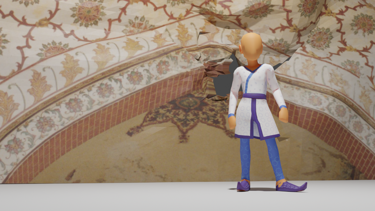
    Making this Fort is an ambitious project, especially since the buildings within span the tastes of four generations of Mughal Emperors.

    I don’t know what possessed me to try to make the Naulakha (or the Queen’s Pavillion). Maybe it’s because this is one of the smallest monuments in this Fort, or maybe because I had the most pictures of it from my former research. Either way, I jumped into making it and have been editing it for a month to make it feel right.

    Finally though, I feel like I’m making a breakthrough. First, I started making sense of the patterns, then I spent ages fiddling with the proportions of the building to make it sit better. And, because I need to keep modeling in Blender to really build that muscle-memory, I added in some rough side-buildings too. (No arches or pillars in those yet, I’m still making really ugly ones!)
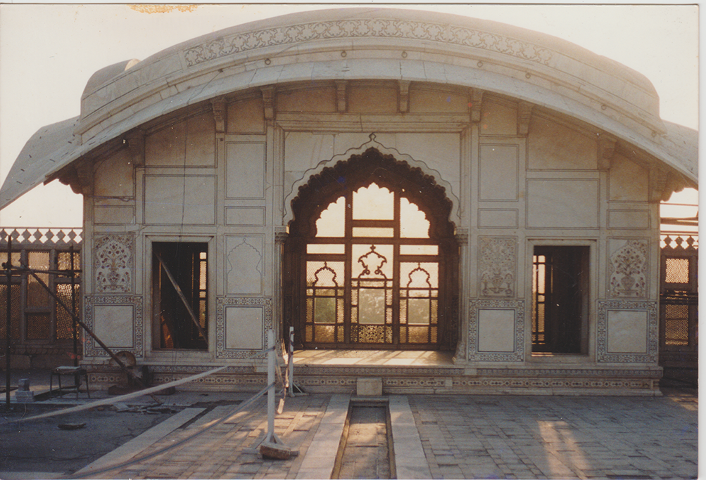
    I found this image online and have been referencing it to see where the patterns go.

    Now, please be kind about the patterns and stuff, all of this is taking me way longer than normal! But, as I said, I’m taking today’s progress as a win!

    This is where I was a month ago…
    The first render once I applied the latest textures… no real lighting in the scene.

    And finally…

  • Babur

    Babur

    The first of the Great Mughals, Babur was the orphan king who ascended to the throne as an 11-year old. In the decades that followed, he experienced great strife and turmoil, but his unbeatable spirit won the loyalties of armies and followers across Central and South Asia.

    The unbeatable spirit of Babur